|
Please see attached release regarding the Belknap Fire, which is being managed to achieve resource objectives. Thank you, Jacqueline C. Banks Public Affairs Officer Kaibab National Forest Office: 928-635-8314 Cell: 928-606-7490
Kaibab
National Forest For
Immediate
Release – Sept. 3, 2014
Contacts:
Jacqueline
Banks, 928-635-8314; Bob Blasi, 928-606-7491
Belknap Fire Continues Growing, Benefiting Forest Health
TUSAYAN, Ariz. – The lightning-caused Belknap Fire that
is being managed to improve forest health on the Tusayan Ranger District has grown to 1,156 acres, reaching close to half of what fire managers expect to be its final size.
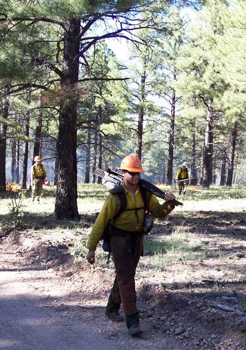
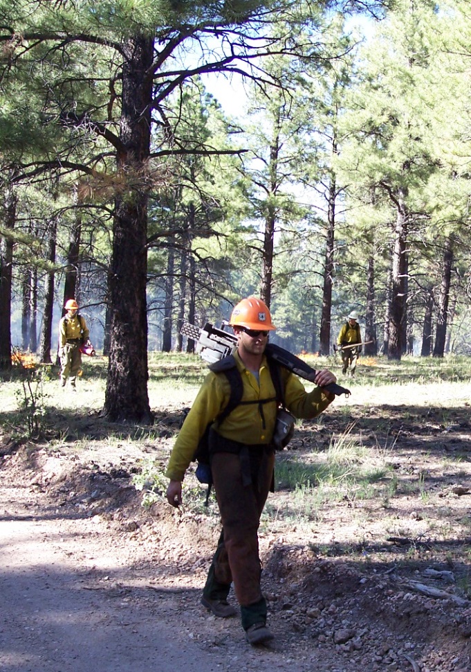
Yesterday, fire managers used both aerial and hand management ignitions to establish lower-intensity backing fire at the tops of ridges to reduce the risk of undesirable high-intensity uphill runs. More than
760 acres were treated due to successful management ignitions as well as the natural spread of the fire within predetermined boundaries.
“We were able to get a lot accomplished yesterday due to favorable weather conditions, the use of the helicopter for aerial ignitions, and the hard work of our firefighters on the ground,” said Quentin Johnson,
incident commander for the Belknap Fire and the fire management officer for the Tusayan Ranger District. “Our hope is that we will have a few more days of good conditions so that we can continue to reduce hazardous fuels and meet other forest health objectives
in a planning area of about 2,900 acres.”
Today, crews will continue to use management ignitions to secure established boundary lines for the fire, protect historical and cultural sites, and bring lower-intensity fire down through drainages. A helicopter
will again be used for aerial ignitions, which will be focused on remaining ridge tops within the planned fire area. Use of the helicopter reduces exposure to fire fighters on the ground, as the helicopter is able to conduct management ignitions in areas
with steep, hazardous terrain. While aerial ignitions are occurring, fire crews will use hand ignitions along forest roads 310 near Grandview Lookout Tower and 307 east of Hull Cabin.
Smoke will continue to be visible from the Belknap Fire, which is located 12 miles east of Tusayan, Ariz., on the Coconino Rim. However, smoke impacts to populated areas have been minimal and are expected
to remain so. A detour remains in place for the Arizona Trail sections within the planning area for the Belknap Fire. The trail detour follows
Forest Road 310. Signs and detour maps have been posted in the vicinity for Arizona Trail users. Date Reported: Aug. 26, 2014 Location: 12 miles east of Tusayan on the Coconino Rim Cause: Lightning Size: 1,156 acres Landscape/Fuels: Ponderosa pine and pinyon/juniper Fire Behavior: Majority low to moderate intensity Additional information, photos and maps are available at the following locations:
This electronic message contains information generated by the USDA solely for the intended recipients. Any unauthorized interception of this message or the use or disclosure of the information it contains may violate the law and subject the violator to civil or criminal penalties. If you believe you have received this message in error, please notify the sender and delete the email immediately. |
Attachment:
image003.emz
Description: image003.emz
Attachment:
1650-1_so_belknap_fire_2014_0903.pdf
Description: 1650-1_so_belknap_fire_2014_0903.pdf


