|
Good morning, Please see today’s update on the Rock Fire on the Tusayan Ranger District along with an associated map. Thank you, Jackie
News Release
Media Contacts
Margaret Hangan (760) 455-3024
Wildfire managed for multiple objectives on Tusayan Ranger District growing toward the northeast within established planning
area
Tusayan, Ariz., Aug. 5, 2015—For Immediate Release.
ROCK FIRE OVERVIEW
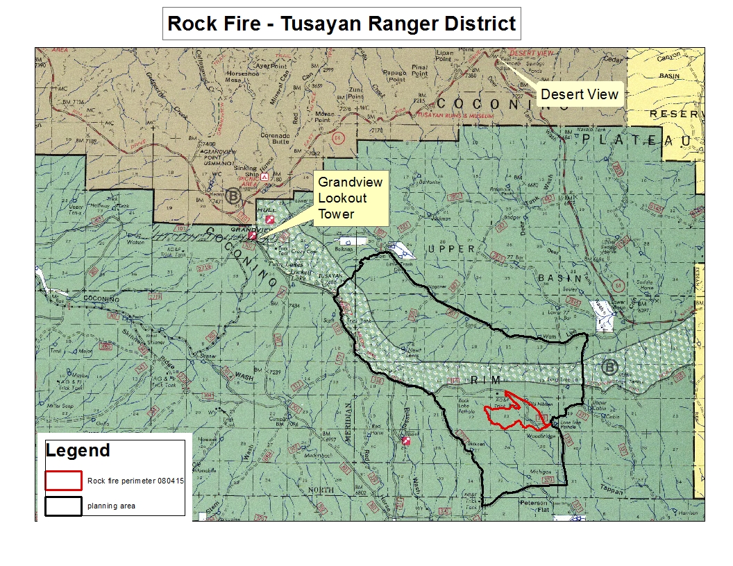
A lightning-caused wildfire on the Tusayan Ranger District of the Kaibab National has grown to 650 acres in size. The Rock Fire is located near Rock Lake Pothole just south of the Coconino Rim about 15 miles southeast of the
Town of Tusayan. The wildfire, which was started by lightning July 31 and discovered by fire managers Aug. 1, is burning at a low-to-moderate level of intensity through an area dominated by ponderosa pine trees. Fire managers plan to allow the wildfire to
take its natural course within predefined boundaries in order to help restore ecological balance across the landscape so that the area is more resilient to threats, such as future high-intensity wildfires.
Today:
Firefighters will be monitoring the fire as it steadily grows toward the northeast. They are continuing to identify and prepare fire-sensitive resources such as archaeological sites and range fences located within the management area in anticipation of
the wildfire’s future growth. This important work ensures that as the Rock Fire grows, fire managers will be able to allow it to take its natural course without the risk of negatively impacting other values in the area.
Smoke: In the early morning hours, smoke stayed within the general vicinity of the fire. However, as air temperatures heat up, prevailing winds will likely blow the smoke northeast
toward the Cameron and Tuba City area. Though the weather forecast is calling for a chance of showers Thursday afternoon, the Rock Fire is expected to burn actively over the next two days and produce smoke that will be visible from Cameron, Tuba City,Valle
and Highway 64. Smoke may sink overnight into Tappan Wash and potentially move toward Cameron.
Closures:
There are no closures associated with the Rock Fire.
Size:
650 acres
Start Date:
July 31, 2015
Location:
Near Rock Lake Pothole south of the Coconino Rim about 15 miles southeast of Tusayan
Additional Rock Fire information, photos and maps are available through the following resources: InciWeb
http://inciweb.nwcg.gov; Kaibab National Forest Fire Information Phone Line (928) 635-8311; Text Message – text ‘follow kaibabnf’ to 40404.
### |


Attachment:
1650-1_d4_RockFire_2015_0805.pdf
Description: 1650-1_d4_RockFire_2015_0805.pdf
Attachment:
Rock PIO map_080515.jpg
Description: Rock PIO map_080515.jpg
