|
Please see attached news release update regarding the Skinner Fire on the Tusayan Ranger District near Tusayan, AZ on the Kaibab National Forest.
Thank you,
Holly Krake, MSEd Fire Information Officer USDA Forest Service Kaibab National Forest- South Zone 742 S. Clover Road Williams, AZ 86046 p. 928-635-5653 f. 928-635-5680
Kaibab National ForestWebsite: www.fs.usda.gov/kaibabTwitter: www.twitter.com/KaibabNF
For Immediate Release Contact: Holly Krake, 928-635-5653August 6, 2013Active Skinner Fire at 580 Acres
TUSAYAN, AZ – At 580 acres on the evening of August 6, 2013, the Skinner Fire has continued to actively burn in the 1,463 acre planning area. However, monsoonal precipitation is anticipated over the next 2-3 days which may decrease fire growth to 10 acres or less of new growth each day. “Rain today acted as a damper on new growth, but drying trends forecasted for later in the week may shift fire behavior and our management options” said Fire Management Officer, Quentin Johnson.
The lightning caused Skinner Fire remains predominantly low intensity with 6-12 inch flame lengths in pine litter. However, varying monsoonal patterns changed fire behavior earlier in the week to include some moderate intensity with individual tree torching reported. Fire managers are actively working in the area to ensure continued resource and protection benefits as the fire progresses.
Date/Time Reported: Friday July 26th, 2013 Location: 5 Miles Southeast of Tusayan Cause: Lightning Size: 580 Acres Landscape/Fuels: Ponderosa Pine Fire Behavior: Predominantly low intensity Planning Area: 1,463 acres
No smoke impacts are anticipated for the Tusayan area, south rim of the Grand Canyon, and surrounding communities. A smoke column may still be visible along Highway 64 near Tusayan.
Please visit Inciweb for additional maps and photographs: http://inciweb.nwcg.gov/incident/3579/
For additional information, please call Holly Krake (USFS), Fire Information Officer, 928-635-5653
-USFS-
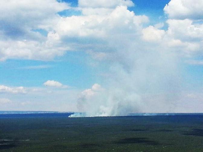
Skinner Fire smoke column as seen from Red Butte on August 5rd, 2013 near Tusayan, AZ.
This electronic message contains information generated by the USDA solely for the intended recipients. Any unauthorized interception of this message or the use or disclosure of the information it contains may violate the law and subject the violator to civil or criminal penalties. If you believe you have received this message in error, please notify the sender and delete the email immediately. |


Attachment:
1650-1_d4_Skinner_Fire_2013_0806.pdf
Description: 1650-1_d4_Skinner_Fire_2013_0806.pdf
