|
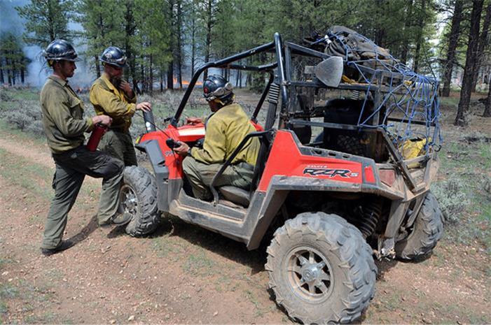
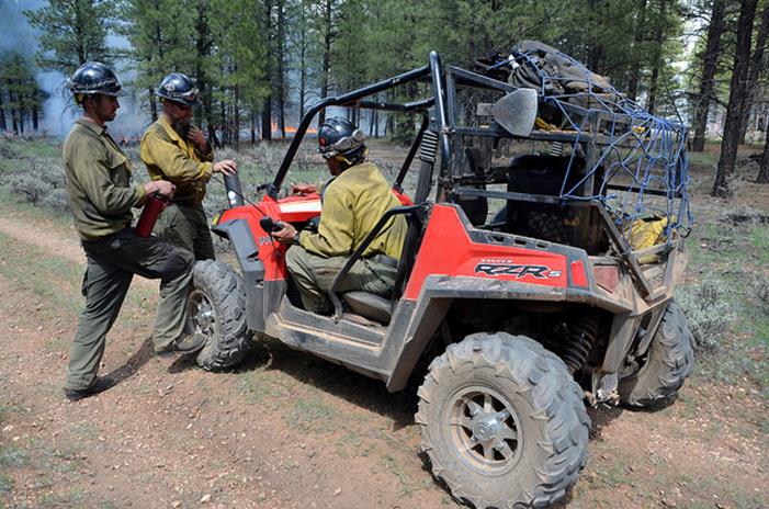
Please see today’s update on the fires being managed to achieve resource objectives on the Williams and Tusayan Ranger Districts of the Kaibab National Forest. Thank you! Jacqueline C. Banks Public Affairs Officer Kaibab National Forest Office: 928-635-8314 Cell: 928-606-7490
Sitgreaves and Hammer Fires Continue Rapid Growth
WILLIAMS, Ariz. – The lightning-caused Sitgreaves and Hammer
fires that are being managed to improve forest health on the Kaibab National Forest continued growing rapidly yesterday as lower relative humidity levels and warmer temperatures dominated weather conditions.
Yesterday’s fire activity on the Sitgreaves Complex created smoke that, when combined with cool overnight temperatures, settled into low-lying areas along Interstate 40 between Williams and Flagstaff. However,
that smoke is quickly dissipating as temperatures increase this morning.
The impact of smoke to communities is one of the biggest challenges faced by fire managers, who are attempting to restore ecological function by allowing fire to perform its role as a critical natural process.
Efforts are made to limit smoke production in a variety of ways, including by conducting management ignitions only on certain days and at certain times when prevailing winds and weather conditions are expected to move smoke away from populated areas. However,
it’s not always possible to prevent all smoke impacts when managing a long-duration wildland fire such as the Sitgreaves Complex, which has been burning since July 13.
“We understand that with every activity in the forest that we, as federal land managers, must continually balance the ecological outcomes with the social and economic impacts that we have on our neighbors,”
said Holly Kleindienst, deputy fire staff officer for the Kaibab National Forest. “We take this responsibility very seriously and recognize that smoke can be one of the biggest challenges that we face in earning and maintaining public trust and support for
the work that we do.”
Despite last night’s smoke impacts, fire effects on forest vegetation continue to be desirable, achieving many of the benefits to resources that fire managers are seeking. Sitgreaves Complex, Williams Ranger District The Sitgreaves Complex, located about 5 miles north to northwest of Parks, Ariz., grew by 800 acres yesterday to a total size of
5,565 acres. Fire managers expect continued growth on the fire through the weekend until early next week when rain is expected to again put a damper on fire activity. Today, crews will patrol and ensure established containment lines are holding. A helicopter
may also be used to conduct aerial ignitions along some of the steep, upper slopes north of the main fire area. Smoke will continue to be very visible from Interstate 40 and communities between Williams and Flagstaff.
Hammer Fire, Tusayan Ranger District Fire behavior on the Hammer Fire, located about 10 miles southeast of Tusayan, Ariz., increased yesterday, and flames spread rapidly
within predefined boundaries. Due to previous black lining efforts by fire crews, all containment lines held, and the fire was able to continue its natural spread, meeting resource objectives such as reducing hazardous fuels and improving wildlife habitat.
A significant smoke column was visible from the South Rim of Grand Canyon National Park by late afternoon. However, there were no direct impacts to populated areas, as the smoke dissipated into the Lower Basin of the Tusayan Ranger District by evening. Today,
fire managers plan to continue black lining along Forest Road 302 in order to stay ahead of the main fire, which is now 5,894 acres in size, and ensure that when it eventually reaches the boundary road, all containment lines hold.
McRae Fire, Tusayan Ranger District The 5,505-acre McRae Fire has not grown in a few days, having reached the boundaries established for it by fire managers. The fire
is being monitored daily to ensure that all containment lines continue to hold. Fire crews have also been busy removing fire-weakened hazard trees near forest roads within the burned area in preparation for the planned Aug. 15 lifting of a closure that was
put into effect for public safety purposes. Some smoke is still visible within the fire perimeter, as trees, stumps and other forest fuels continue to smolder. Additional information, photos and maps are available at the following locations:
This electronic message contains information generated by the USDA solely for the intended recipients. Any unauthorized interception of this message or the use or disclosure of the information it contains may violate the law and subject the violator to civil or criminal penalties. If you believe you have received this message in error, please notify the sender and delete the email immediately. |
Attachment:
image002.emz
Description: image002.emz
Attachment:
1650-1_so_managed_fires_2014_0808.pdf
Description: 1650-1_so_managed_fires_2014_0808.pdf
